What we do
Through satellite data and soil process models, we deliver accurate, low-cost, and accessible soil health insights to agricultural stakeholders to support sustainable farming practices worldwide.
TECHNOLOGY AND DATA SERVICES

OpTIS
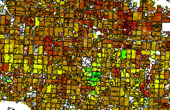
OpTIS provides state-of-the-art, satellite-based mapping of agricultural practices, both current and historical. By providing details on agricultural activities – including crop residue, cover crops, and crop rotations – OpTIS offers insights into the changing agricultural management landscape. Where are cover crops being successfully adopted? Which regions lag behind their neighbors in implementing conservation tillage? OpTIS provides answers to these important questions.
Watch the video to learn more about OpTIS
Frequently asked questions about OpTIS and its applications.

DNDC
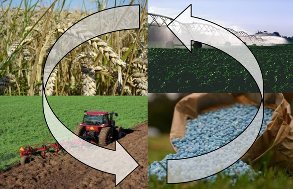
DNDC is a process-based soil model that uses data on initial soil conditions, weather, and management to better understand carbon and nitrogen cycling – all to gather insight on larger environmental outcomes.
Whether DNDC is gathering data on crop growth, changes in soil carbon, nitrous oxide emissions, or nitrate leaching, this model generates information using known biogeochemical processes to inform sustainable decision-making for farmers and their stakeholders.
Dagan was established in 2018 as a spin-off of the research technology institution Applied GeoSolutions (AGS), when a passionate group of scientists and data analysts set off to share biogeochemical modeling technology and support resilient agriculture practices at scale. By working with those who support farmers, it is our goal to help make regenerative agriculture practices both accessible and profitable for growers.

